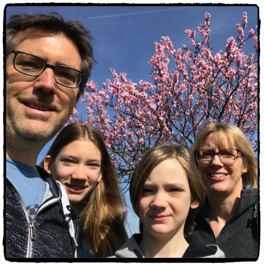
Meine Highlights des Jahres 2020 (inklusive der verschobenen) in Stichworten und Bildern:
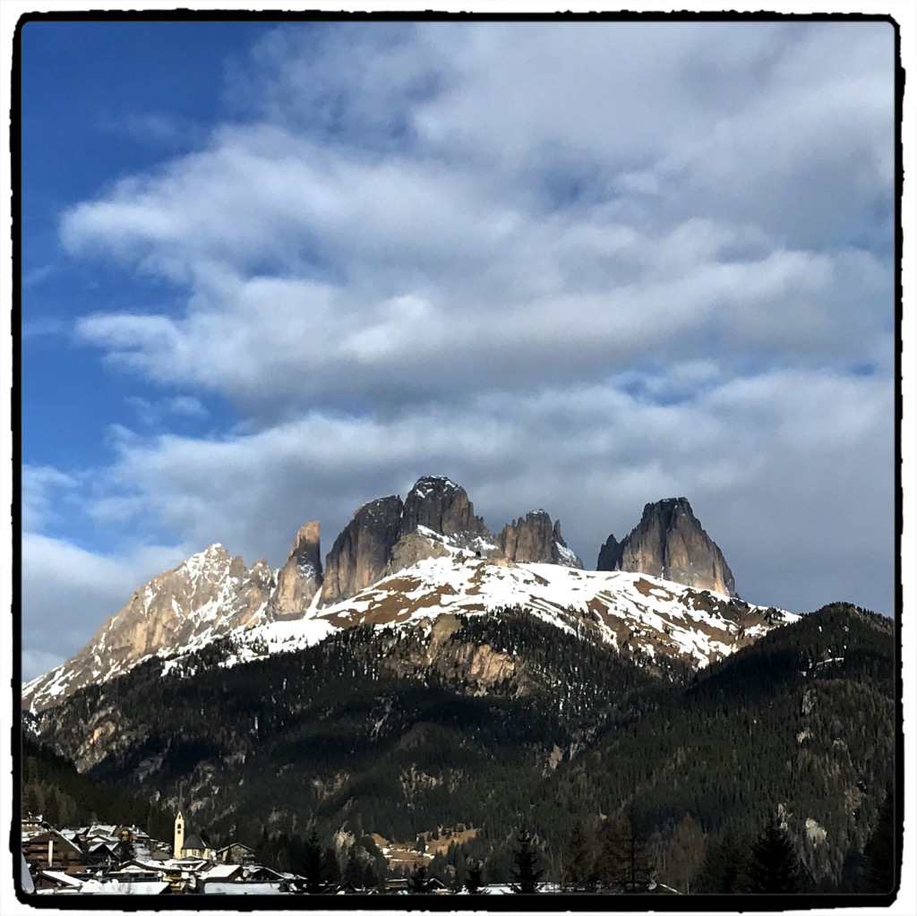
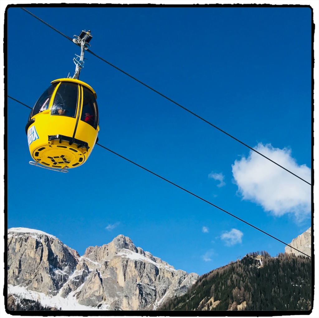
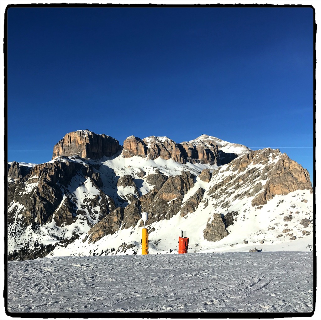
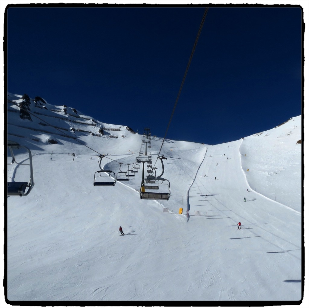
Urlaube
- Skifahren Südtirol
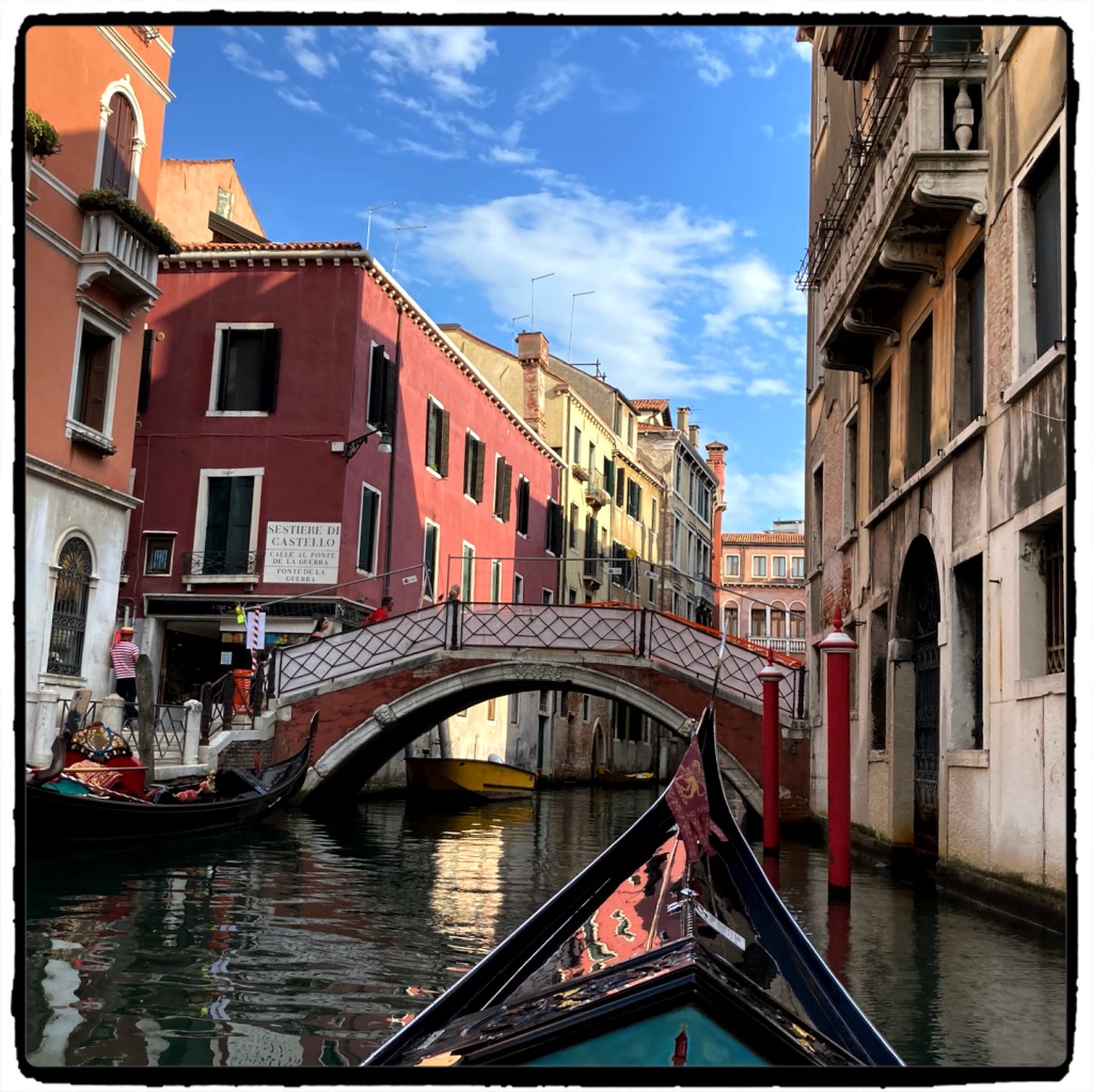
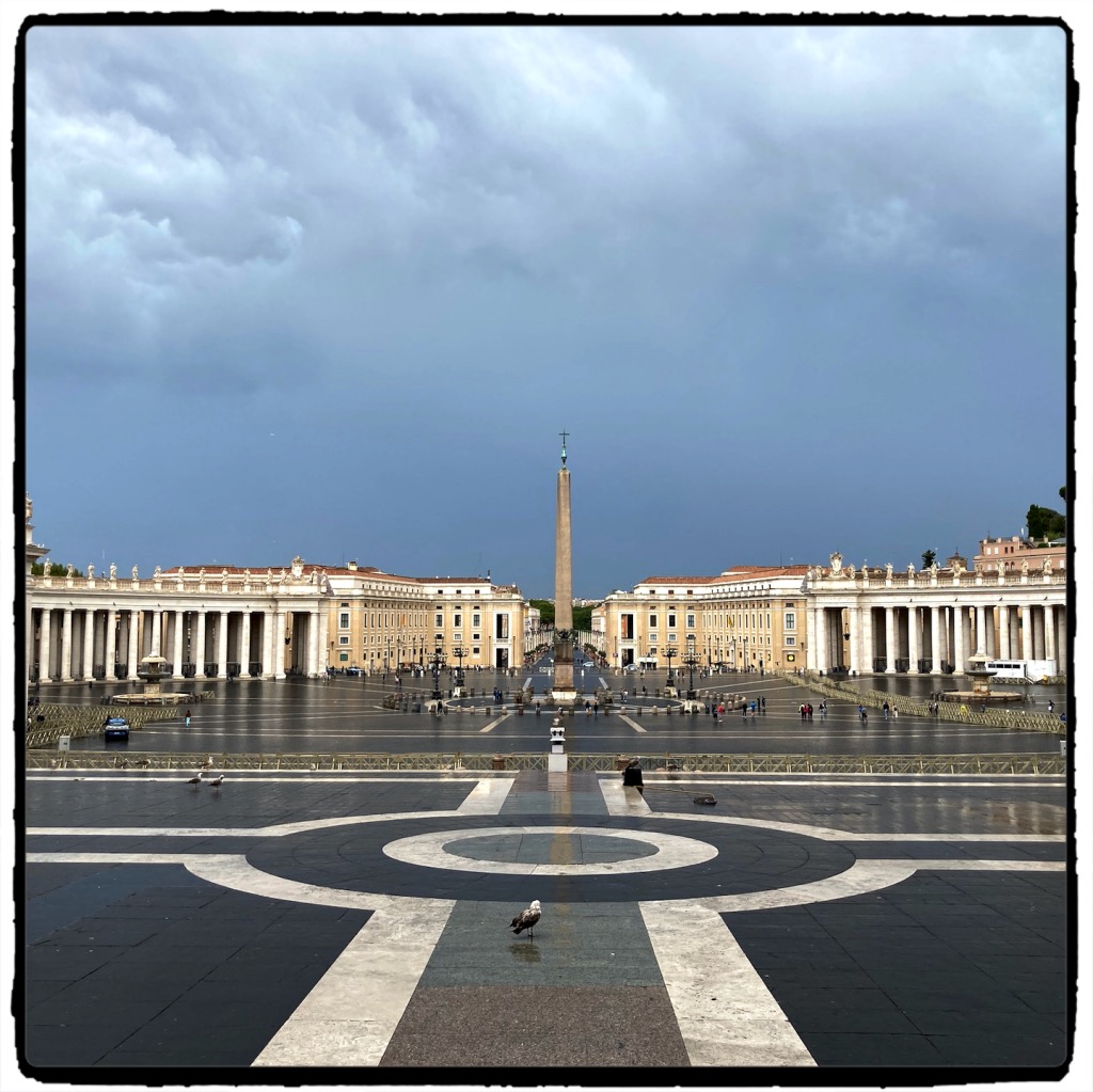
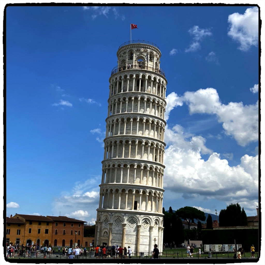
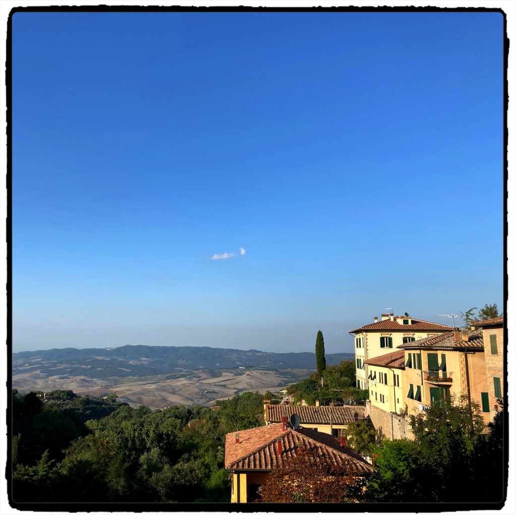
New York City & Long IslandSüdengland- Italien (Venedig, Rom, Toskana)
Dienstreisen
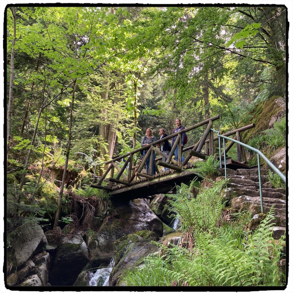
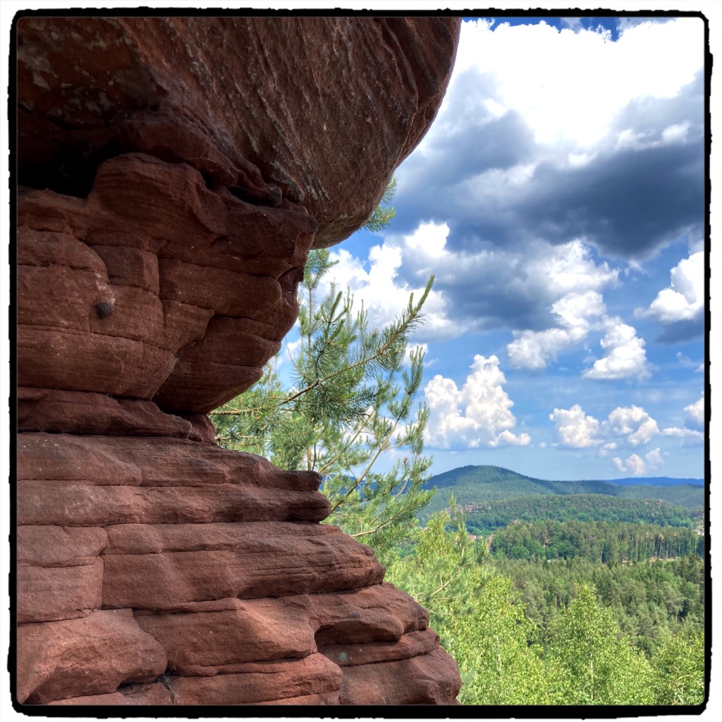
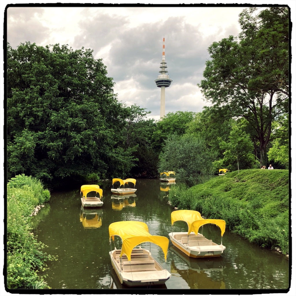
Ausflüge
Konzerte
Sport
- 1300km Rennrad
- 180km Laufen
- Ungezählte Kilometer Spazieren an der Alb
Technik